
Hello everyone! I would like to highlight the wonderful mentorship and guidance I received throughout my research adventures. Many people, ranging from academics to federal scientists have taken the time and effort to help me understand the geology, geomorphology, and field techniques needed to map. An excellent benefit of the USGS EDMAP component of the NCGMP program is that it requires the student geologic mapper to work under the mentorship of USGS and academic scientists. Overall, this experience has help me gain insight into the inner-workings of the USGS, and has taught me countless new geological skills.
Wonderfully enough, I obtained help from so many people, that I don't have the room to highlight everyone in this post! Therefore, I'm going to mainly focus on my collaborators from the USGS and OSU.
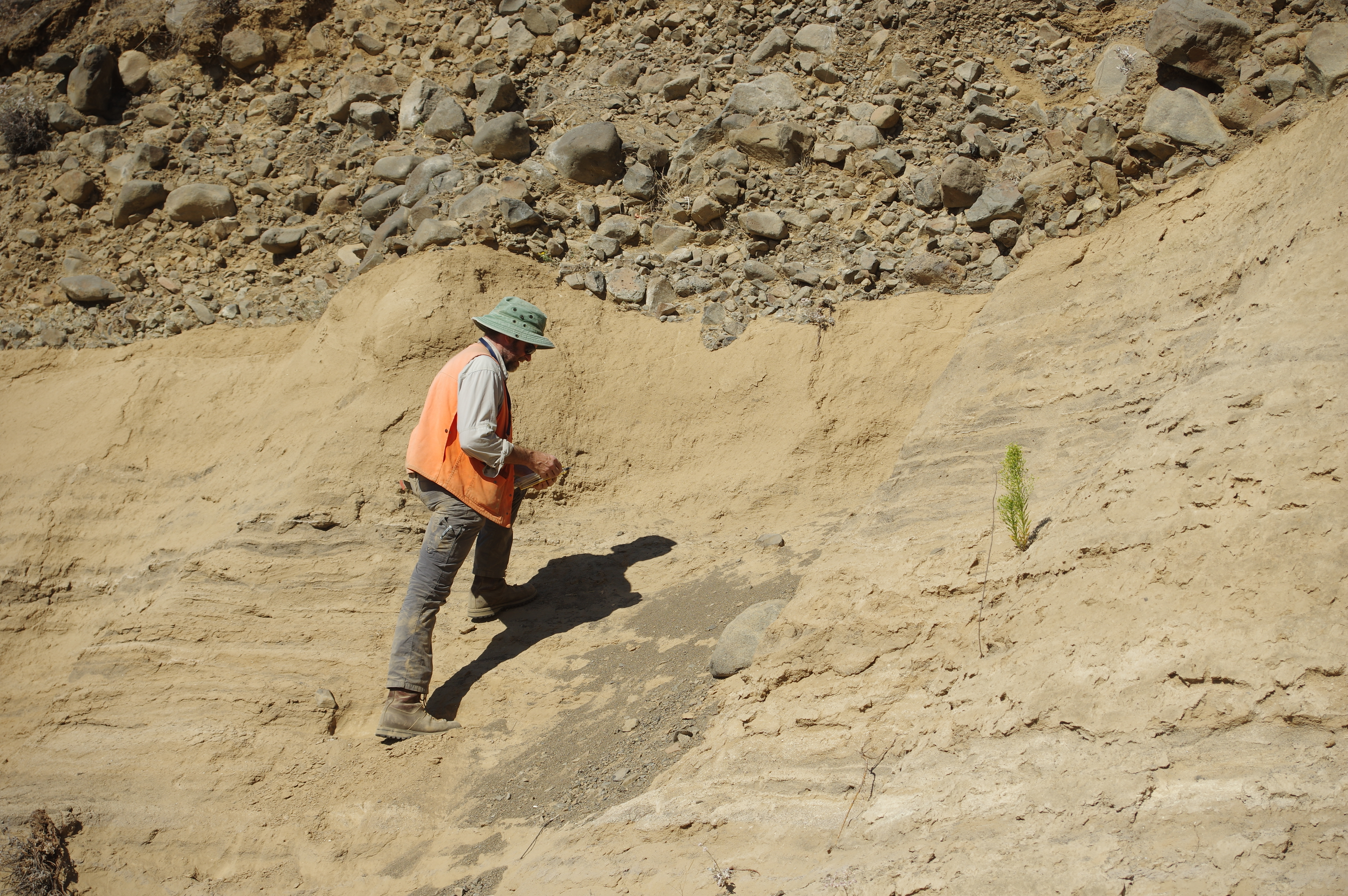
Among the people who conducted field work with me this summer, is USGS scientist, Jim E. O'Connor (featured in the above picture). Dr. O'Connor, is a distinguished field geomorphologist with a broad scope of expertise ranging from studying the paleo-history of the epic Missoula floods to characterizing fluvial surface processes that shape the beautiful PNW landscape. Jim helped me immensely in understanding how to map and categorize Quaternary and Neogene age deposits in the map area and the Columbia River Gorge. Jim's input immensely helped me develop a geomorphological mapping perspective, which is essential to describing and understanding the modern landscape.
For example, in the photo above, Jim aided my understanding of the depositional history of this outcrop. This outcrop records an abrupt transition from a low energy fluvial, lacustrine, environment (lower) to a high-energy colluvial alluvial fan deposit (upper). Without this guidance, I would tend to focus more on the basalt stratigraphy, which is also important, but in order to interpret the entire geologic history of the area I need to understand the depositional histories of the younger deposits, which Jim has helped me with.
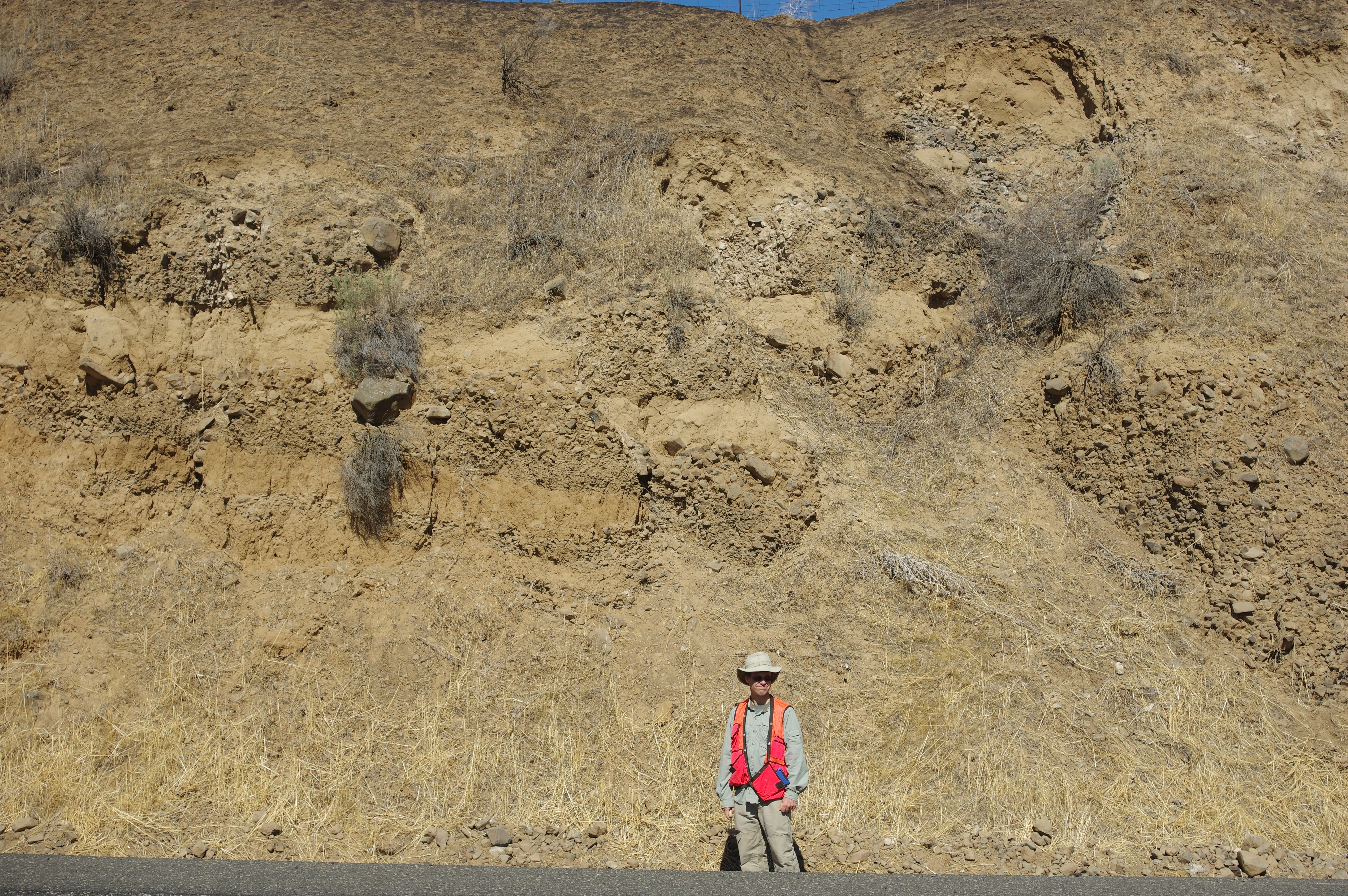
Another excellent source of information and guidance is USGS scientist, Charles Cannon (featured in the above picture). Charlie is an excellent geomorphic field mapper, and geographic information systems data expert and provides a highly detailed knowledge-base of the Quaternary geology of the Columbia River Gorge area. Working in the area since 2010, Charlie helped me understand the map components I need to create a geologic map held to the standards of the USGS. Not only has Charlie helped me begin mapping in digital form (in ArcGIS), but he has also helped me learn how to discriminate between the diverse surficial deposits of the area.
For example, my field assistant Marina and I took Charlie and Jim to a couple outcrops that confused us in the southern region of the map area. There, Charlie pointed out that these large, broken up blocks of basalt were actually old landslide deposits! (landslide deposits exhibited in the below picture)
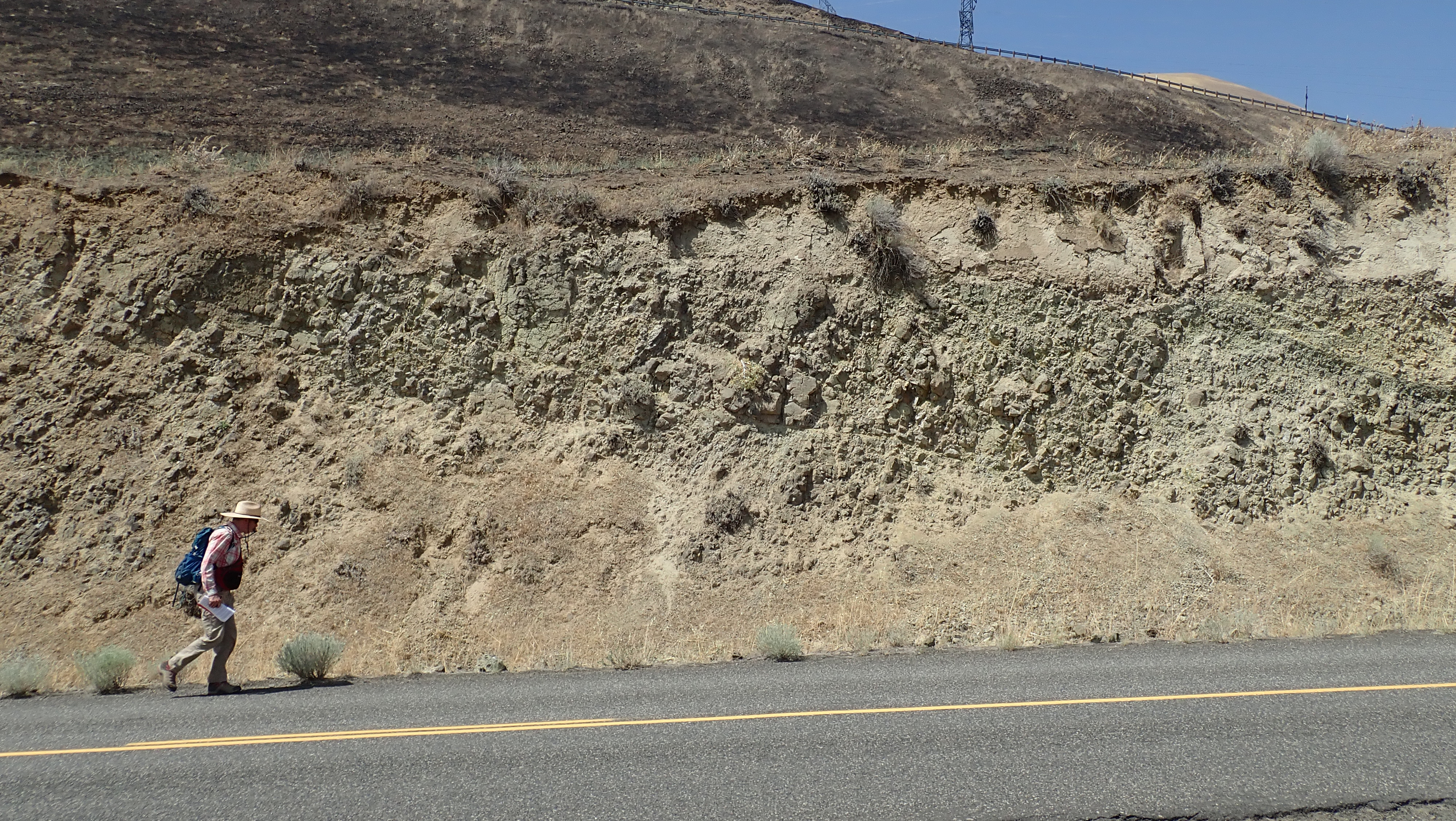
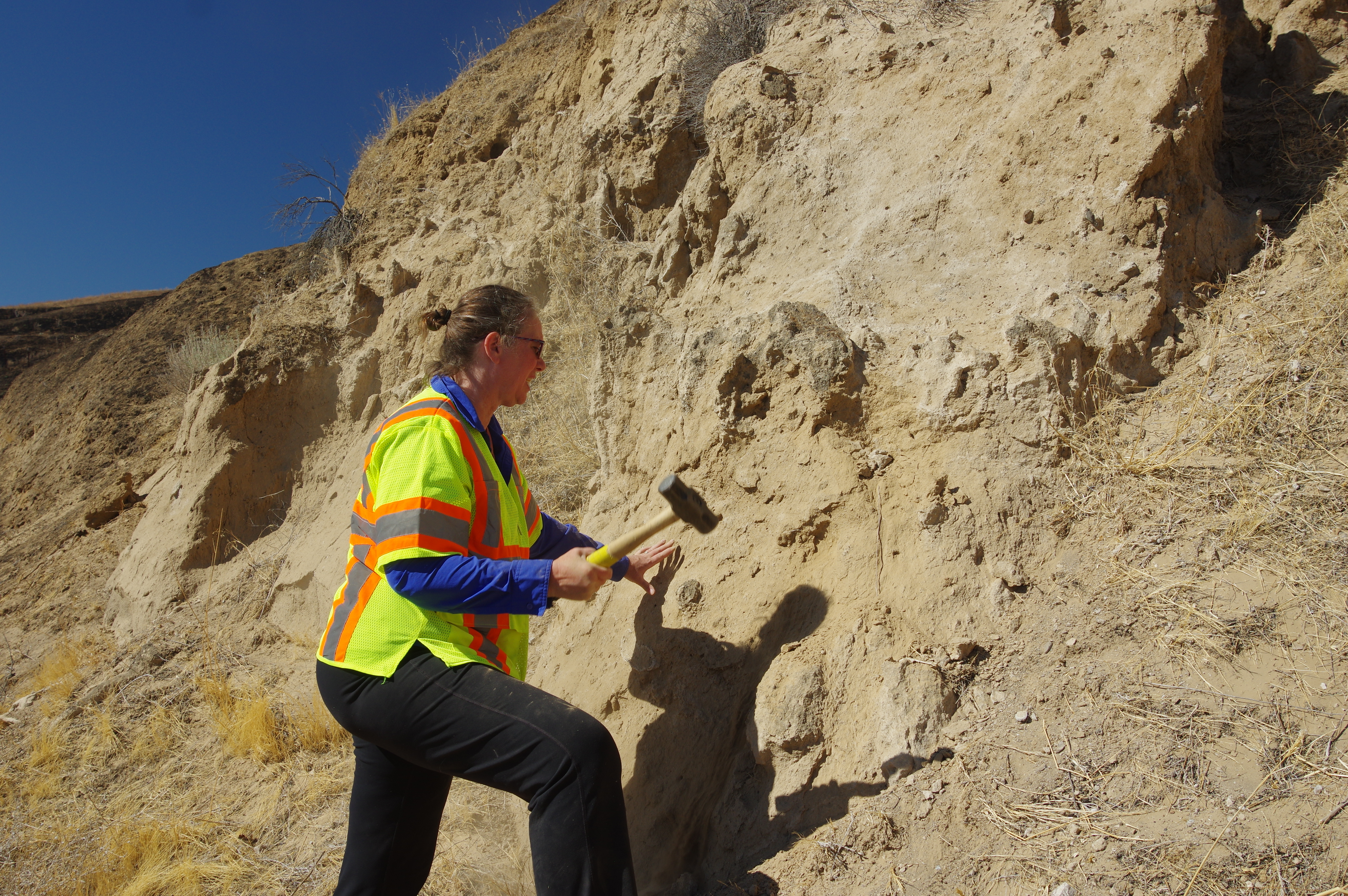
Another mentor I am lucky enough to work with is USGS scientist, Dr. Shannon Mahan. Dr. Mahan focuses on luminescence geochronology and is the director of the USGS Luminescence Geochronology Lab in Denver, CO. Shannon has an unprecedented knowledge-base of the luminescence dating technique and its? many applications to geologic questions.
Shannon (featured in the below picture) visited me in the field for two days to show me how to collect loess samples for optically stimulated luminescence dating. Why would we do this you may ask? I have found multiple loess deposits (which should have relatively 'young' geological ages) that appear to be deformed by the Warwick strike-slip fault zone in the map area. Knowing the ages of these deformed loess deposits helps us constrain the timing of recent fault displacement on the Warwick Fault Zone. This, in turn, will provide invaluable information about the history of the fault zone and aide my calculations of fault slip rates and recurrence intervals. Super cool!
In a couple weeks, I will head the OSL lab in Denver to process my loess samples - so stay tuned for a blog post about OSL dating!
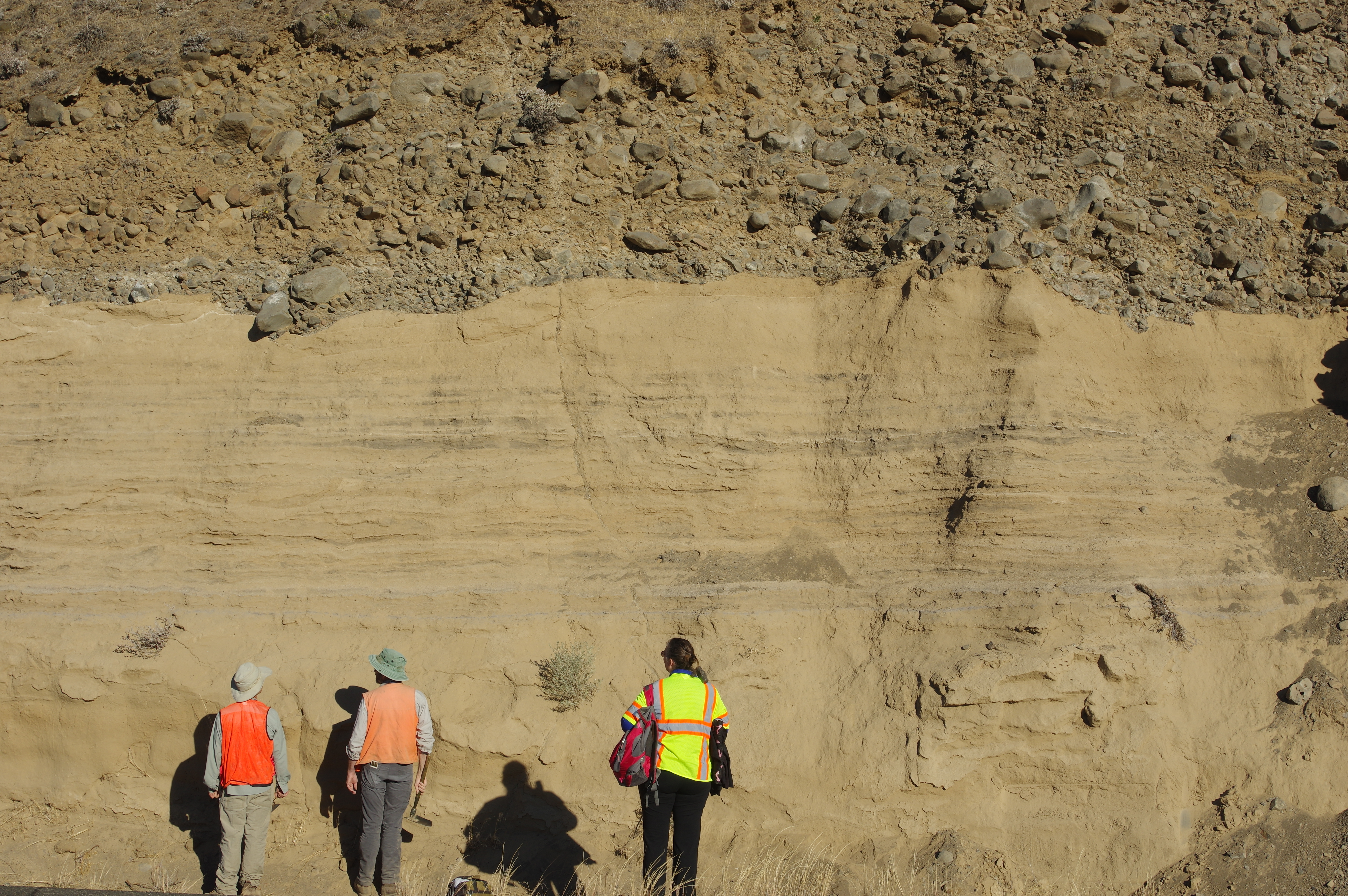
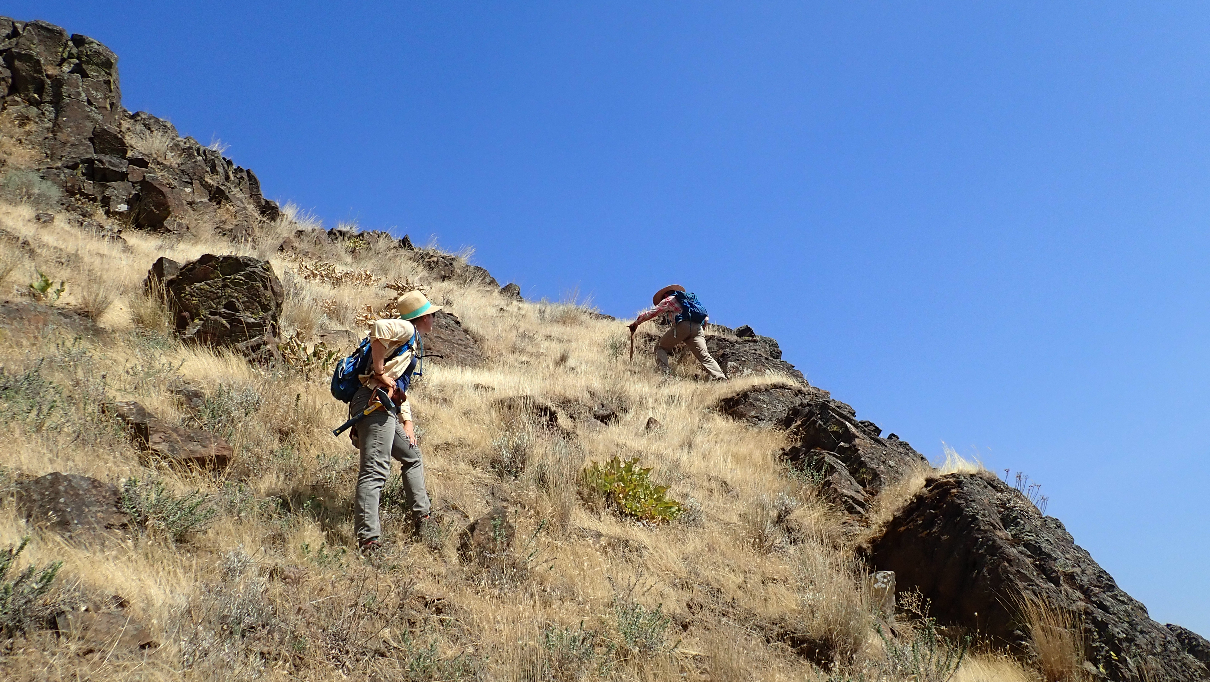
Last but certainly not least, I would like to highlight the wonderful mentorship of my OSU thesis advisor, Dr. Andrew Meigs. Andrew, an experienced structural geologist and field scientist, helped me immensely during my tenure at OSU. They say pictures are worth a thousand words, and the below picture perfectly depicts Andrew and I in the field. This picture, taken by Marina on a 110 degree F summer day, says, no matter the extremes, be it weather or elevation gain, Andrew will climb that rock face, and is always happy to help. I've learned an insurmountable amount of field techniques from him, and thoroughly enjoy working as his student.
Although, there are many others that have helped me along the way, no one surpasses the help and friendship I have received from my field assistant, Marina Marcelli (featured on the far right in the below picture). Marina is a wonderful field geologist, always positive, and has an inquisitive mind. Her knowledge about the volcanology of the PNW and structural geology has helped me immensely throughout my entire field experience this summer! Thank you, Marina!
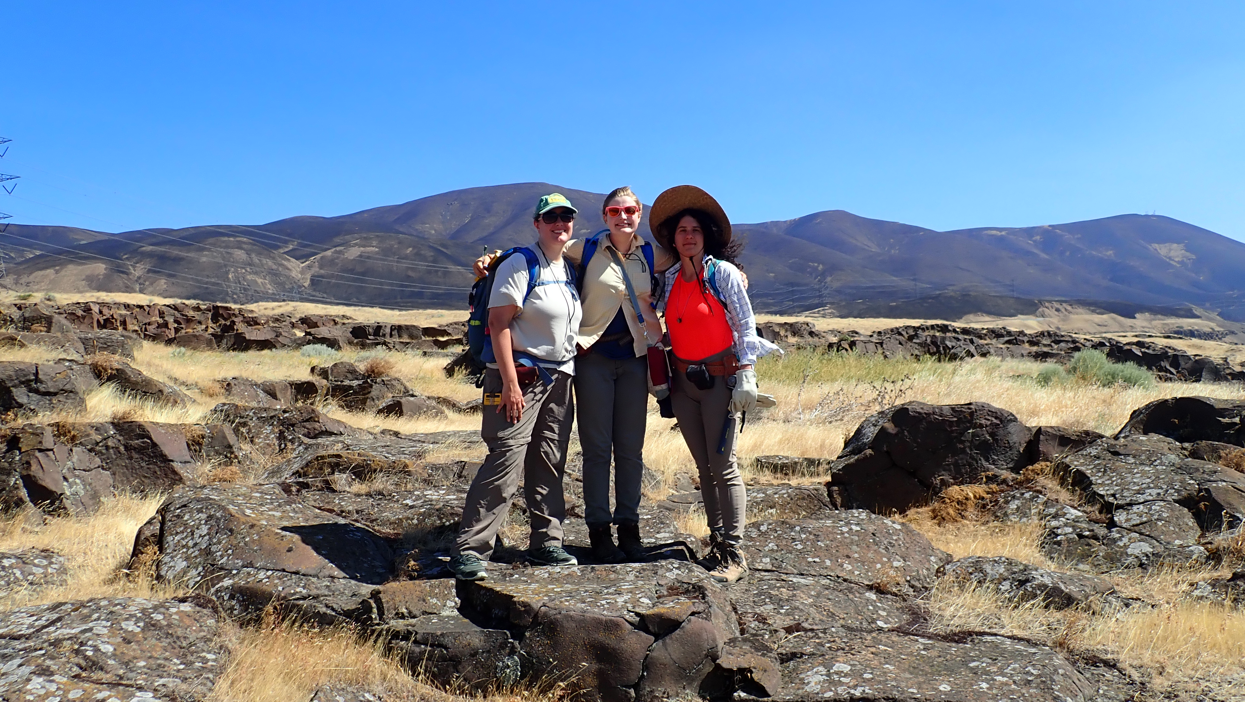
(Above picture) This features from left to right, Ellen Lamont, an OSU PhD student, me, and Marina Marcelli, in the field. We took this picture when Ellen joined us in the field for a couple days this summer to help!
Here are the names of other essential people that are helping me throughout my field endeavors - thank you everyone for all of your excellent help:
Ian Madin, Oregon Department of Geology and Mineral Industries DOGAMI
Dr. James L. Anderson, University of Hawai'i, Hilo
Dr. Ray Wells, USGS
Joshua Hackett, Oregon Water Resources Department
Ellen Lamont, Oregon State University
Post written by Danielle Woodring, edited by Marina Marcelli, 2018-11-08