
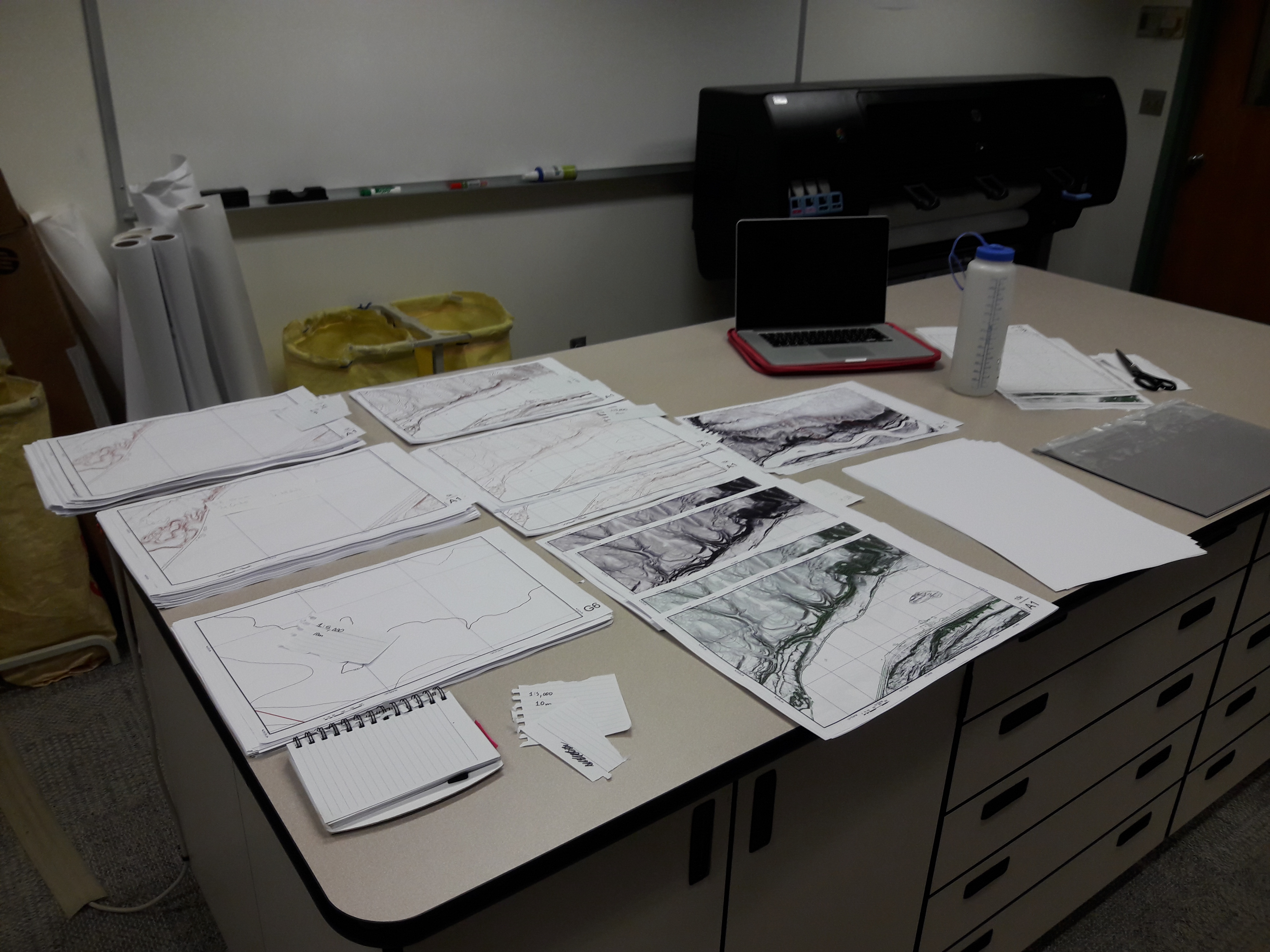
On July 9, Marina and I will head to the map area to begin field work! In preparation for 4 weeks of mapping, I've recruited Logan Byers to help me print out many copies and scales of paper maps to bring with me in the field. Corroborated with GPS data, I'll draw the geology of the region at different scales on these maps! After mapping, I plan to digitize the maps into ArcGIS to create the final version at a scale of 1:24,000. What you see in the picture from left to right are topographic and shaded relief maps at 1:5,000, 1:15,000, and 1:45,000 scales.
Generally, the USGS publishes geologic maps at 1:24,000, 1:100,000, and 1:250,000 scales. My EDMAP grant entails that I create a 1:24,000 scale map, although I plan to map at a higher resolution…hence the 1:5,000 and 1:15,000 scale prints!
Prepping for field work is always stressful, but at least I have friends and family that support me!